Services
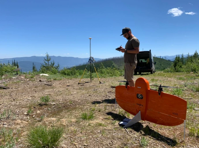
Drone Project Support
Above Sensing provides professional drone support services that integrate RPAS operations, geospatial data collection, and field-ready execution for projects in
GIS & Geospatial Analytics
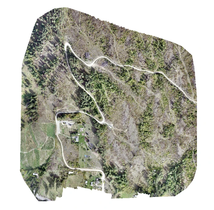
Beyond data collection, Above Sensing provides analysis-ready deliverables and custom geospatial outputs, enriching your project with core planning data like DEMs, DSMs, and survey-grade orthophotos.
Public Safety & Events
Above Sensing provides drone support for public safety operations and public-event SFOC regulated environments.
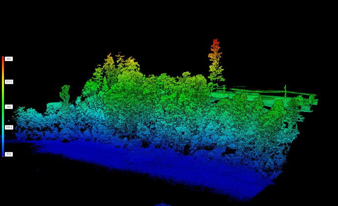
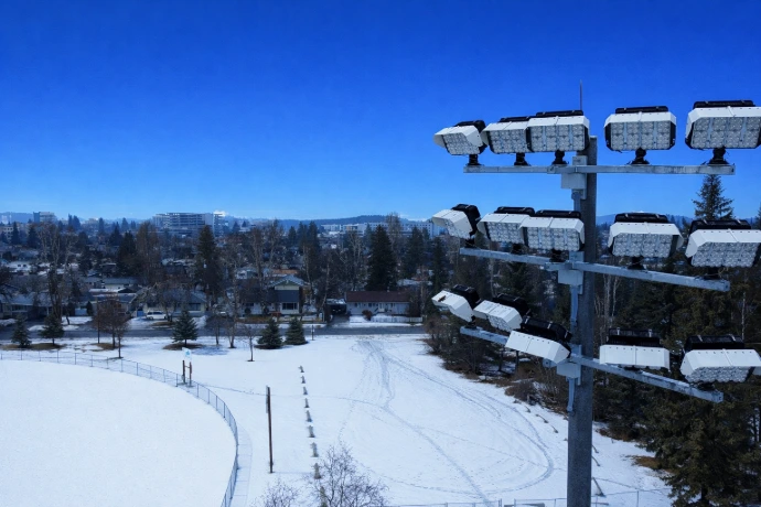
LiDAR Services
We deliver high-resolution and high-accuracy 3D terrain and surface modeling datasets using professional RPAS platforms and custom classification workflows.
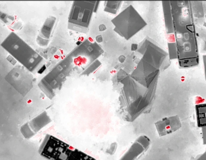
Asset Inspection & Multimedia
Drone-based asset inspection and multimedia services that support infrastructure assessment, condition monitoring, and professional communications.
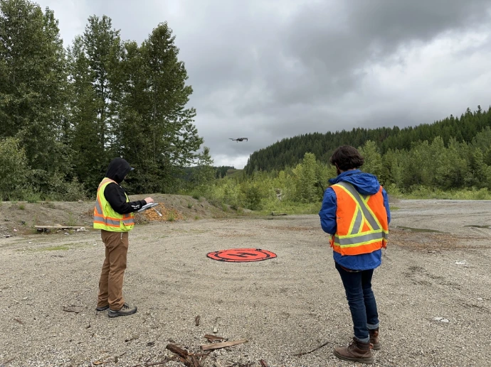
RPAS Training & Flight Review
Learn how to leverage geospatial analytics to enhance your business operations and make informed decisions for a sustainable future.
"Amazing team, very professional - I got to see them in action working on drone safety at an event/festival. They were so great and inspiring, I did my advanced flight review with them. 10/10 would recommend!"

"We had Above Sensing Ltd. come out to our newly acquired RV Resort and Marina to help us with mapping the property. They showed up on time, setup very quickly and their mapping drone was in the air within minutes. They not only mapped our entire property but also were able to give us all the dimensions of each section including a 3D topographical view. With the use of another specialized drone, they were able to provide us with a variety of pictures and video footage for promotional purposes as well. Both owner/operators Vadim and Santiago are easy to talk to, professional and very creative. I would definitely recommend their services and will for sure use them again in the near future. 👍👍"

"Fantastic detailed info about my property which will really help with planning and logistics, fencing, etc. These folks are a real pleasure to work with and I found the price super reasonable for what you get! Thanks!"

Collaborators and testimonials
Supporting projects through trusted drone support, geospatial data, and collaborative field execution.