Engineering-Grade Aerial Data Acquisition & Geospatial Data Solutions in British Columbia
Supporting infrastructure, public safety, mining, utilities, and surveying firms across Western Canada with structured aerial acquisition and defensible data workflows.
Our Expertise
Drone Project Support, LiDAR & Geospatial Analytics
We specialize in end-to-end aerial and spatial data workflows from field data acquisition to analysis-ready deliverables and beyond.
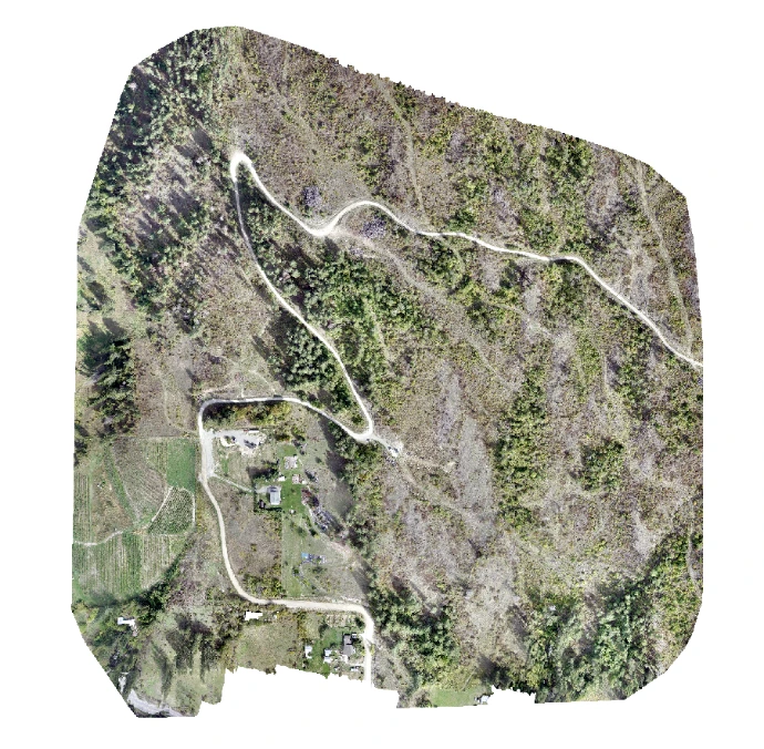
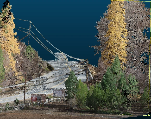
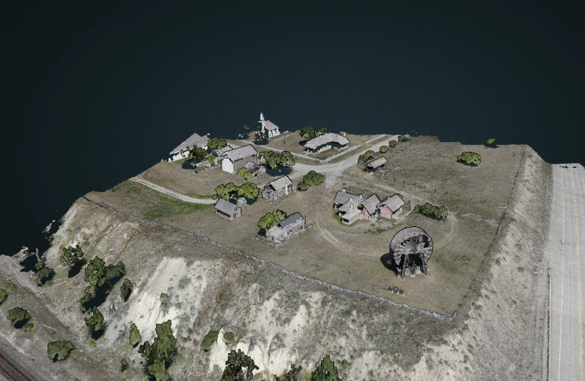
- Drone LiDAR & Photogrammetry
- Topographic & Corridor Mapping
- Environmental Mapping
- Forestry and Wildfire Mapping
- Infrastructure & Utility Aerial Surveys
- LiDAR Data Processing & Classification
- Custom GIS & Spatial Analytics
By the Numbers
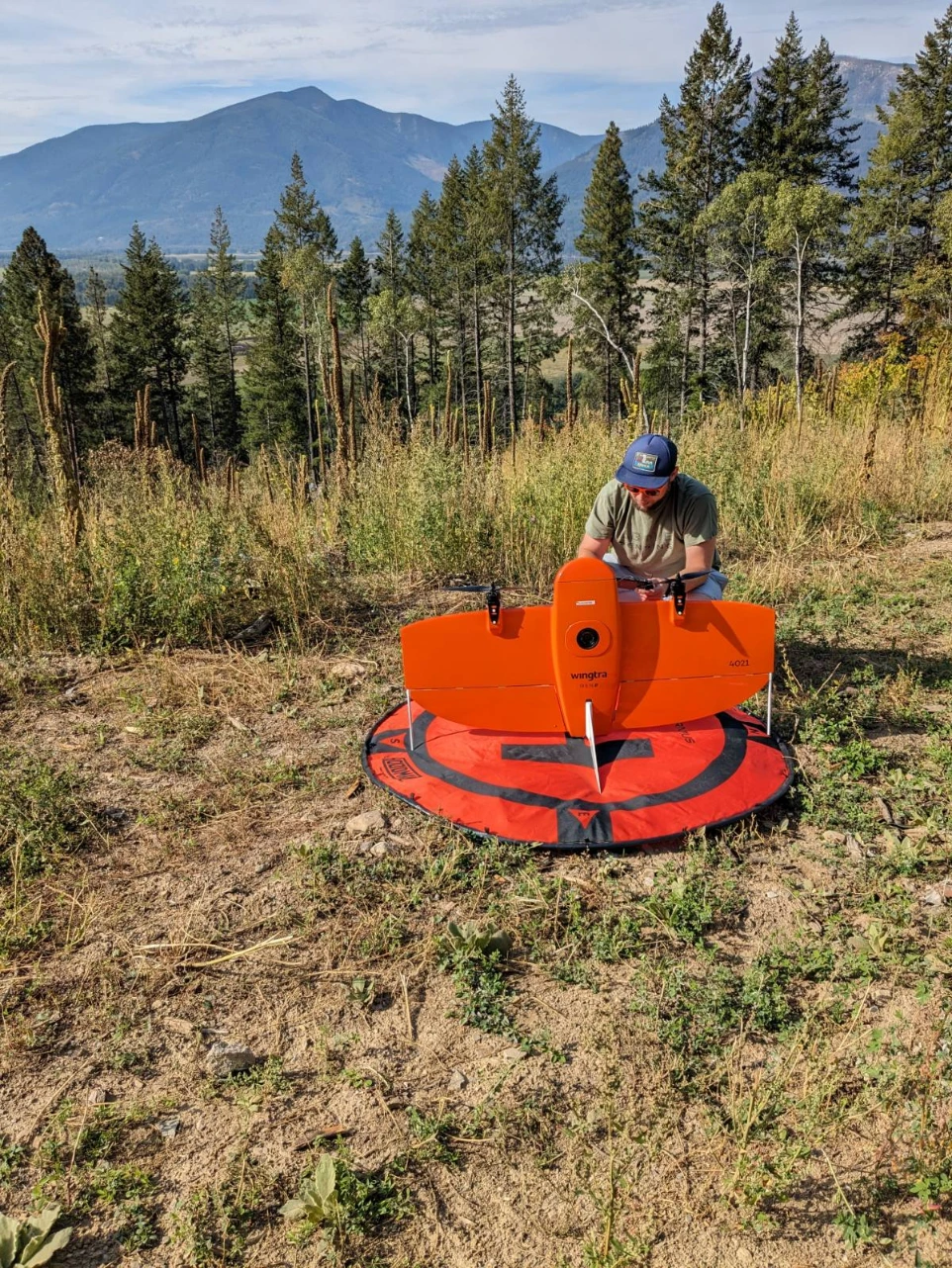
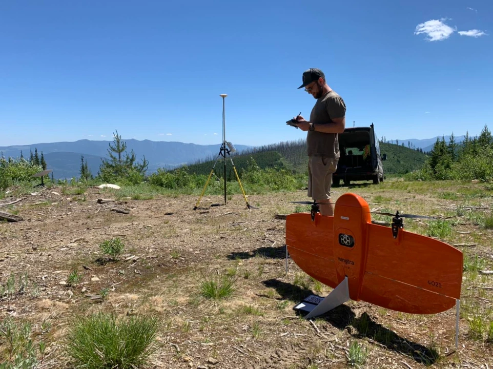
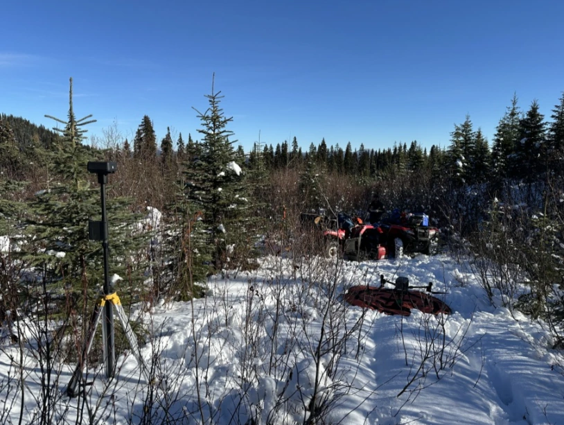
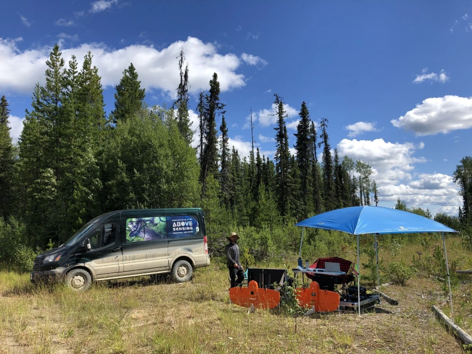
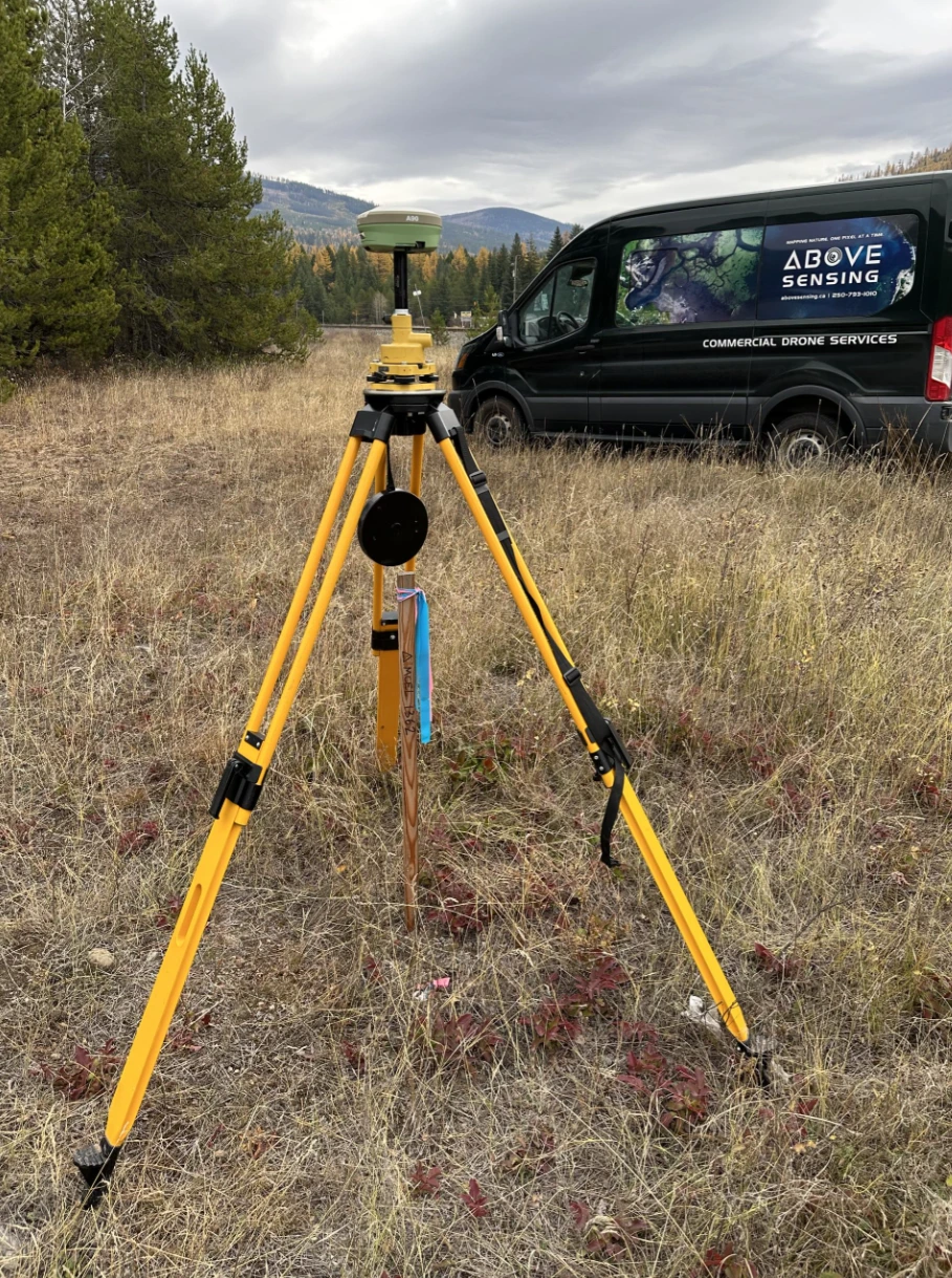
Operating under Transport Canada–compliant RPAS frameworks, Above Sensing has completed hundreds of flights and delivered high-accuracy ground-control supported geospatial datasets across British Columbia, supporting infrastructure, natural-resource, and environmental applications.
400+ Flights
TC–compliant RPAS operations.
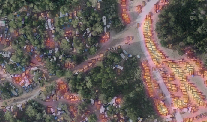
1-3 cm GSD
High-resolution data.
★★★★★
Google rating from verified clients.
10,000+ Ha
Mapped across British Columbia.
≤5 cm RMSE
Survey-grade vertical accuracy.
SFOC
Approved public-event operations.
Why Above Sensing?
Data You Can Rely On
Transport Canada compliant RPAS operations
Survey-grade GNSS & LiDAR workflows
Experienced GIS and project management leadership
Local BC presence with regional terrain expertise
Scalable deliverables for planning, engineering, and reporting
NAD83 CSRS / UTM (or custom grids)
Delivering controlled, quality-assured spatial datasets ready for engineering integration.
Collaborators and testimonials
Supporting projects through trusted drone support, geospatial data, and collaborative field execution.