Skip to Content
Above Sensing Ltd.
  • Home
  • Services
  • About Us
  • Blog
  • Training
  • Contact us
  • Shop
  • 0
  • 0
  • +1 250 793 1010
  • Sign in
  • Contact Us
Above Sensing Ltd.
  • 0
  • 0
    • Home
    • Services
    • About Us
    • Blog
    • Training
    • Contact us
    • Shop
  • +1 250 793 1010
  • Sign in
  • Contact Us

The Riparian Habitat and its Connectivity in Creston Valley

  • All Blogs
  • Success Stories
  • The Riparian Habitat and its Connectivity in Creston Valley
  • March 1, 2023 by
    The Riparian Habitat and its Connectivity in Creston Valley
    Vadim Stolyarov

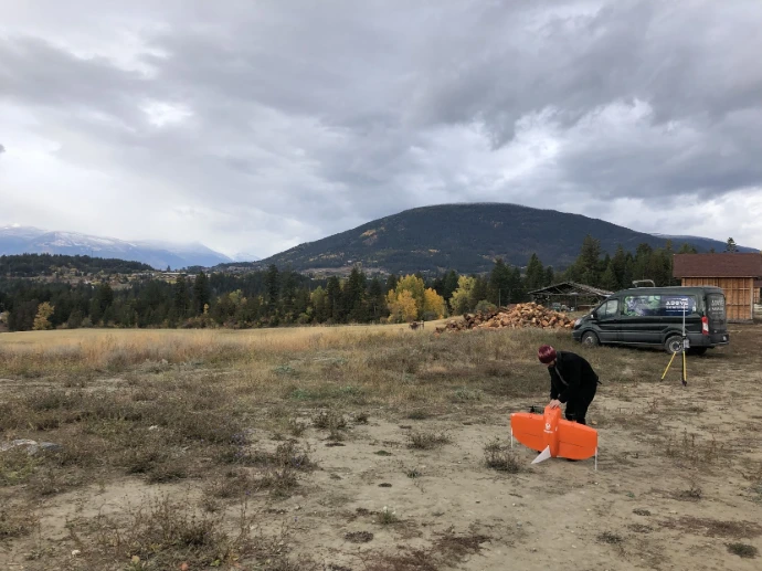
    Wildsight Creston Valley Branch, in collaboration with Above Sensing Ltd., launched a pilot project to study wildlife movement patterns and the condition of riparian habitats within the Creston Valley.

    The Creston Valley is one of British Columbia's most ecologically significant landscapes. Its floodplains, wetlands, and adjacent upland forests provide connected habitat for numerous species, including grizzly bears, elk, kokanee, frogs, and several at-risk bird species. Maintaining connectivity between these habitats is essential to supporting healthy wildlife populations.

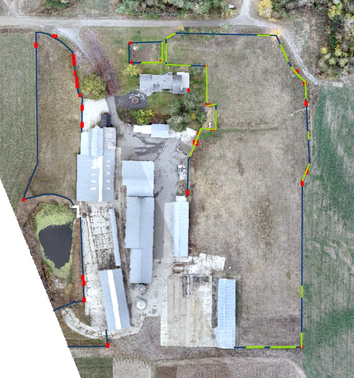
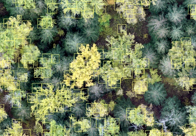
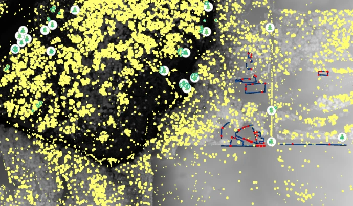
    To better understand this landscape, Wildsight partnered with Above Sensing Ltd. to develop a drone-based remote sensing workflow for riparian habitat mapping. High-resolution aerial imagery was collected and processed to create machine learning training datasets focused on two key landscape features:

    • Cottonwood stands, which provide important riparian habitat and wildlife value.
    • Fencing and other linear anthropogenic barriers, which may influence wildlife movement and habitat connectivity.
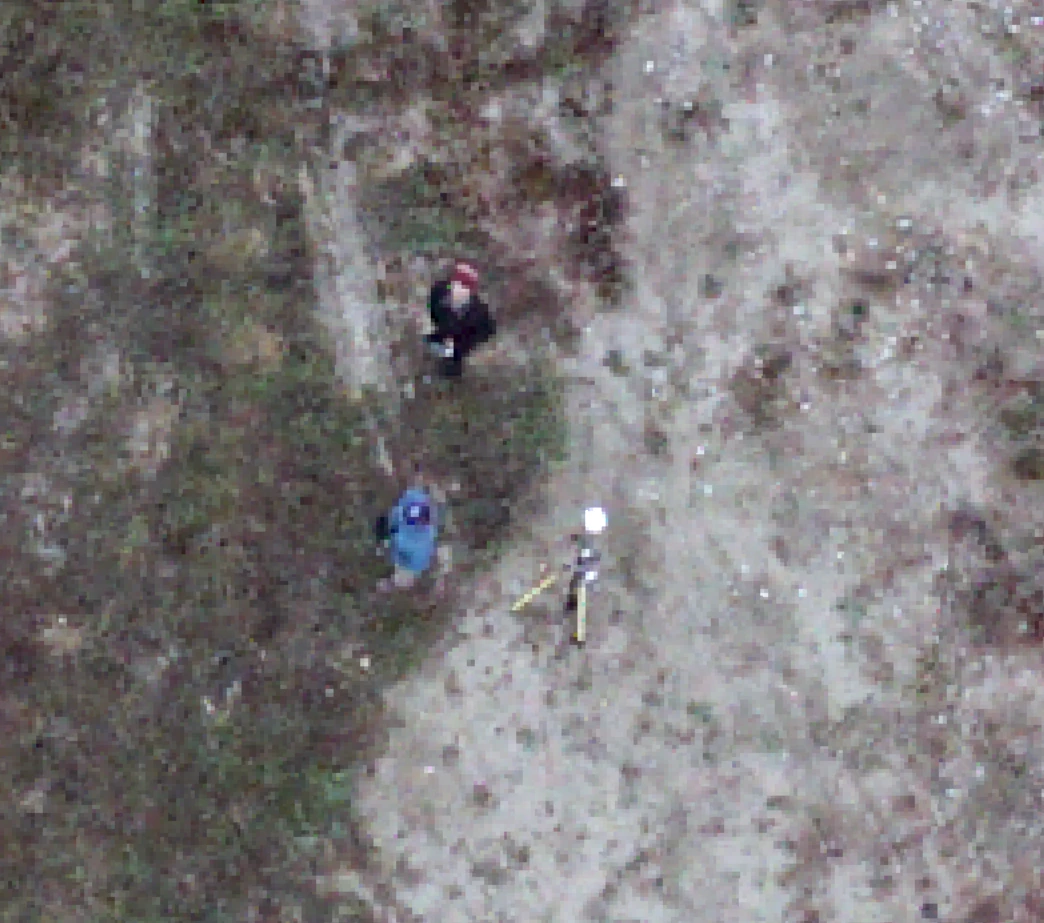
    These annotated datasets provide the foundation for developing machine learning models capable of automatically identifying habitat features and potential movement barriers across larger landscapes. By combining drone imagery with geospatial analysis, the project demonstrates how modern remote sensing techniques can support more efficient habitat assessment and conservation planning.


    in Success Stories
    Turning LiDAR data into actionable insights.

    Let’s Talk About Your Project!

    Whether you need LiDAR elevation models, environmental monitoring, or custom GIS analytics, we’ll help you define scope, accuracy requirements, and deliverables.


    Get in touch

    Above Sensing Ltd.
    302-1199 Cedar Ave. 
    Trail BC V1R 4B8 
    Canada

    • +1 250-793-1010
    • info@abovesensing.ca
    Follow us
    Copyright © Above Sensing Ltd. 2026
    Powered by Odoo - The #1 Open Source eCommerce