
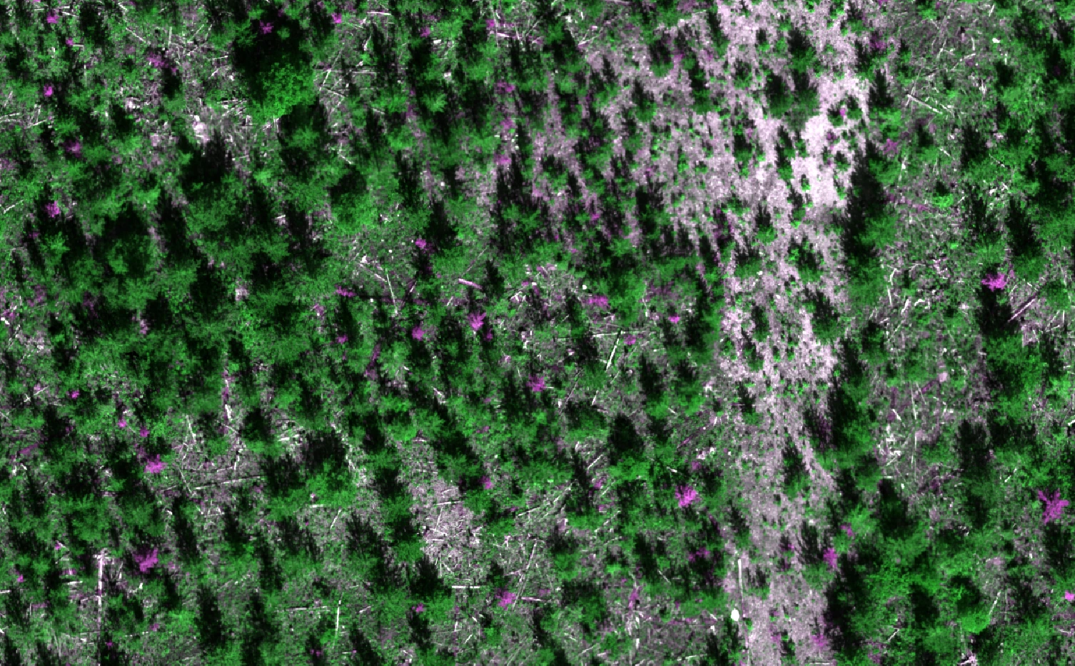
Above Sensing Ltd. supported KDL Resource Management on a large-scale feasibility study examining how drone-derived RGB and multispectral imagery could support forest structure analysis and silviculture applications.
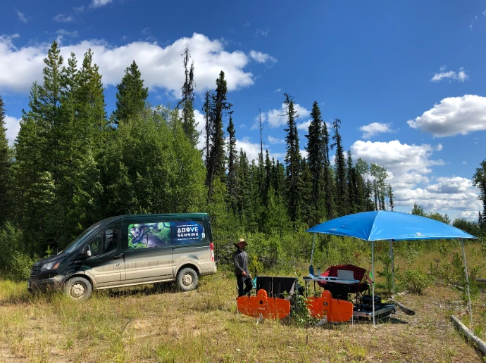
Using a fixed-wing RPAS, the project collected more than 5,400 hectares of aerial imagery across 20 forest blocks, including 2,700 hectares of RGB imagery and 2,700 hectares of multispectral imagery. Rather than simply producing maps, the objective was to evaluate whether high-resolution drone data could be integrated into operational forestry workflows and provide meaningful value for vegetation assessment and silviculture planning.
The final deliverables included complete RGB and multispectral datasets covering more than 5,400 hectares and feasibility recommendations for future operational use.
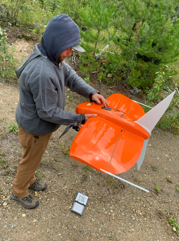
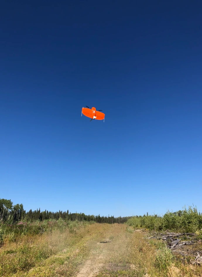
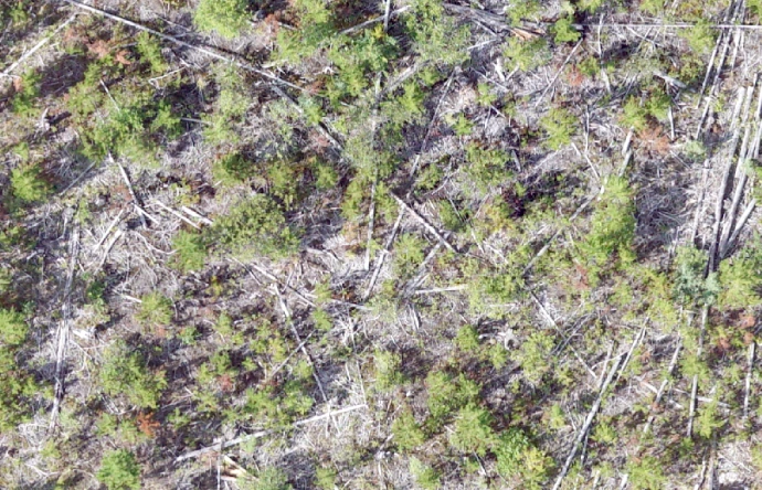
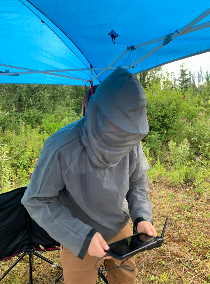
Projects like this demonstrate how fixed-wing drone platforms can efficiently collect consistent, high-resolution data over large and remote forest landscapes. As drone technology continues to evolve, these datasets provide forestry professionals with new opportunities to improve planning, monitor forest conditions, and evaluate silviculture treatments with greater detail than traditional regional imagery.